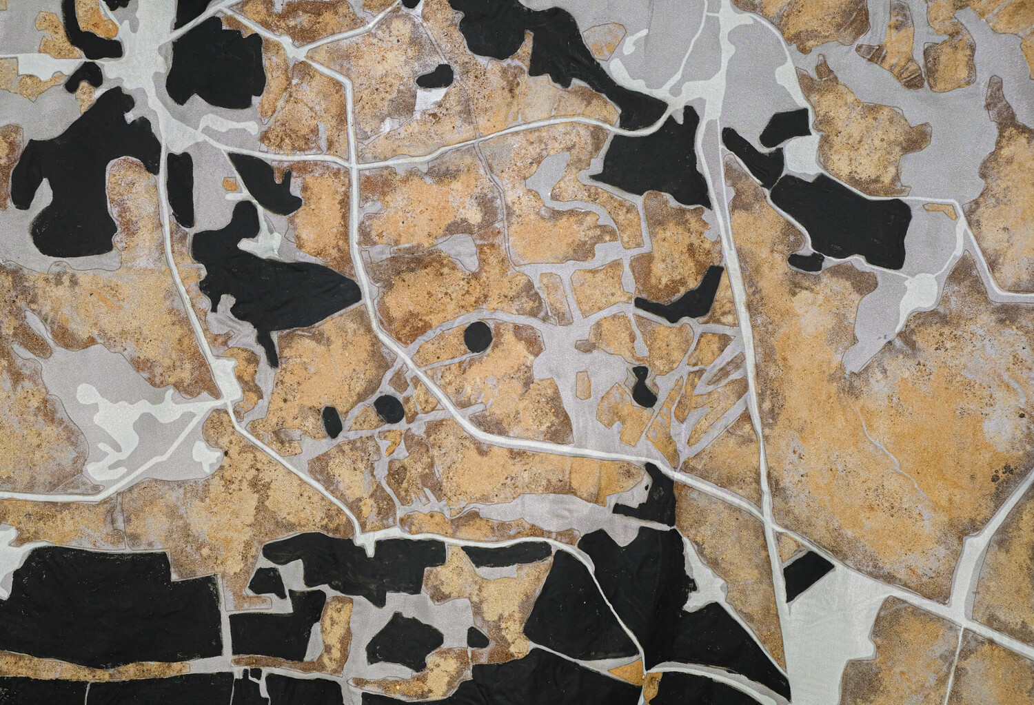
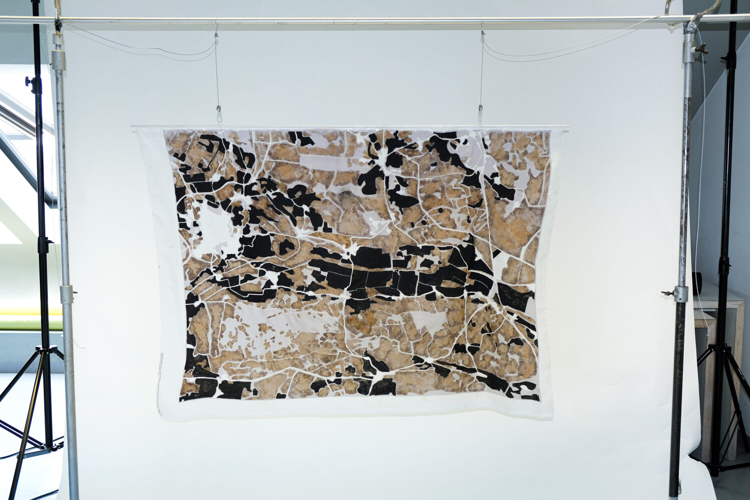
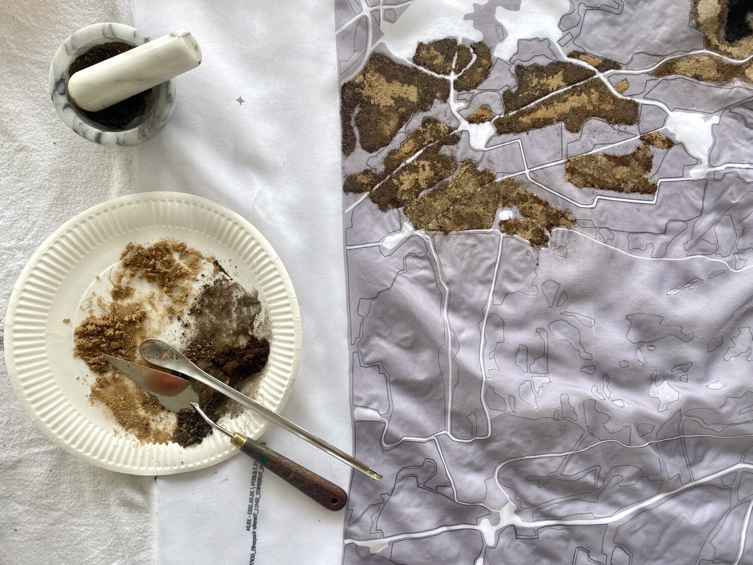
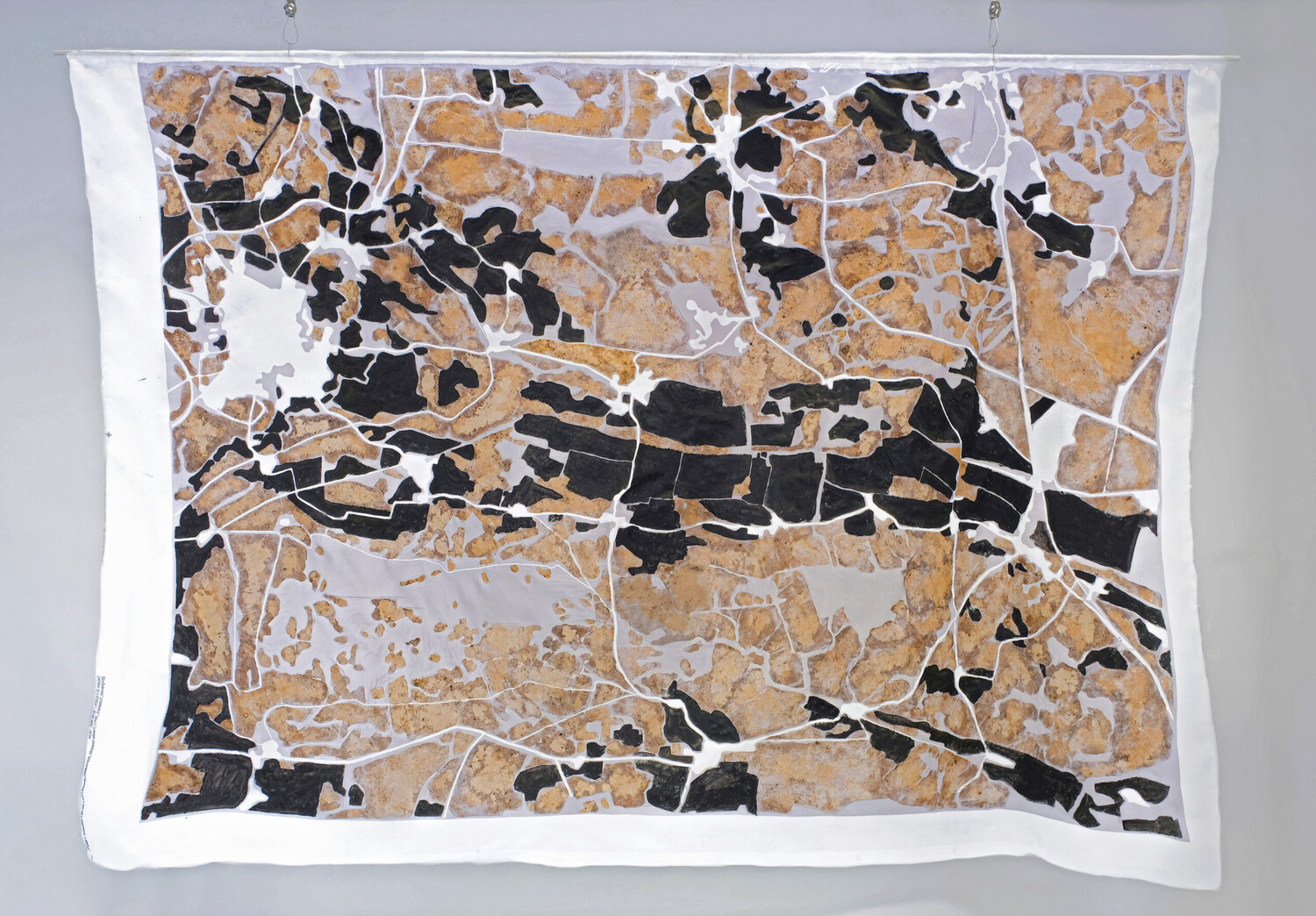
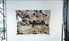
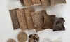
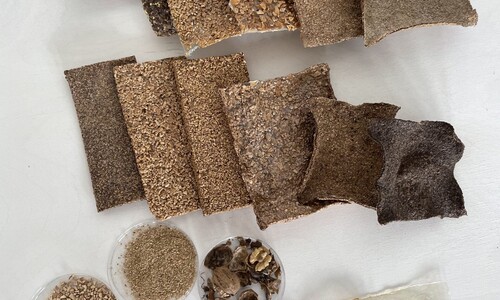
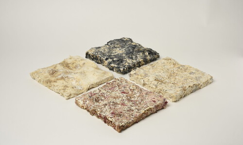
Through the mapping process, a fossil imprint of the local soils of the Baruth Urstromtal is created, revealing what lies up to one meter below the surface and thus carries 11,000 years of history. By incorporating three anthropogenic interventions in soil ecology, it addresses land potential as well as vulnerability. The forested mixed-use areas are represented as living and “most natural” through the imprint of their diverse layers. They preserve the most organic life for plants and animals and, looking toward the future, are the most important carbon stores. The agriculturally used fields are marked with black iron-oxide pigment (part of the soil in the B-horizon) and create, through their aesthetic association with ash, a critical reflection on the use of soils for energy production and the burning of their nutrients. The sealed surfaces are left blank, considered dead or lost. The map creates a framework between intuitively physical and analytically abstracted experiences.
The soils print their own map of themselves and invite observation. The printing of the different layers brings forth what is hidden for many of us and creates new points of contact that would otherwise remain buried. Through “Soil Sensing,” the possibility of sensory perception and appreciation of soil materials is created. The artistic project independently contributes to collective soil awareness and the transmission of soil knowledge.
By depicting the temporal layers and local relationships of soil conditions, a holistic consideration of the soil as a body is intended. A new form of communication is created through mapping, addressing soil degradation, loss of organic carbon, and soil sealing. Artistic “Soil Sensing” can furthermore foster a material and emotional identification with place, stimulate curiosity and wonder, and re-establish a connection with the landscape.